How Does GPS Know Where You Are?
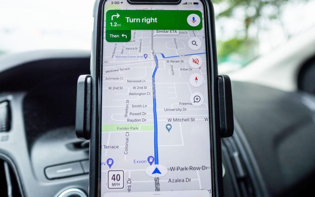
Short answer: Your phone does not get told where it is. GPS satellites broadcast their own position and the exact time, and your phone listens. Because radio signals travel at a known speed, the delay between “sent” and “received” gives the distance to each satellite. With distances to at least four satellites, the phone works out where it must be, and corrects its own clock at the same time.
Key takeaways
- GPS satellites are one-way broadcasters, like lighthouses. Your phone receives and does the math itself.
- Position comes from signal travel time, so everything depends on extremely precise clocks.
- A fourth satellite lets the receiver fix its own cheap clock, not just its location.
- Satellite clocks are tuned to allow for Einstein’s relativity, or the system would drift off by kilometers per day.
- Phones add Wi-Fi, cell and motion-sensor information, and Europe, Russia and China run their own satellite systems too.
The idea: satellites as lighthouses with clocks
GPS.gov describes the satellites as beacons, like lighthouses, broadcasting one-way reference signals. In the nominal design there are 24 satellites in six orbital paths, circling about 20,200 kilometers (12,550 miles) above Earth, and each takes around 12 hours for a lap, according to NASA. In practice more than 24 fly. NASA’s page says over 30 are operational, while the GPS.gov FAQ gave 25 operational satellites as of July 2023, so the number depends on the source and the date.
Each signal says two things: where the satellite is, and when the message was sent. A network of ground stations tracks the satellites, keeps them in their orbits and adjusts their clocks. Your receiver, the third part of the system, picks up the signals and uses them to calculate your three-dimensional position and the time. GPS.gov notes that civilian use is free worldwide.
How a delay becomes a distance
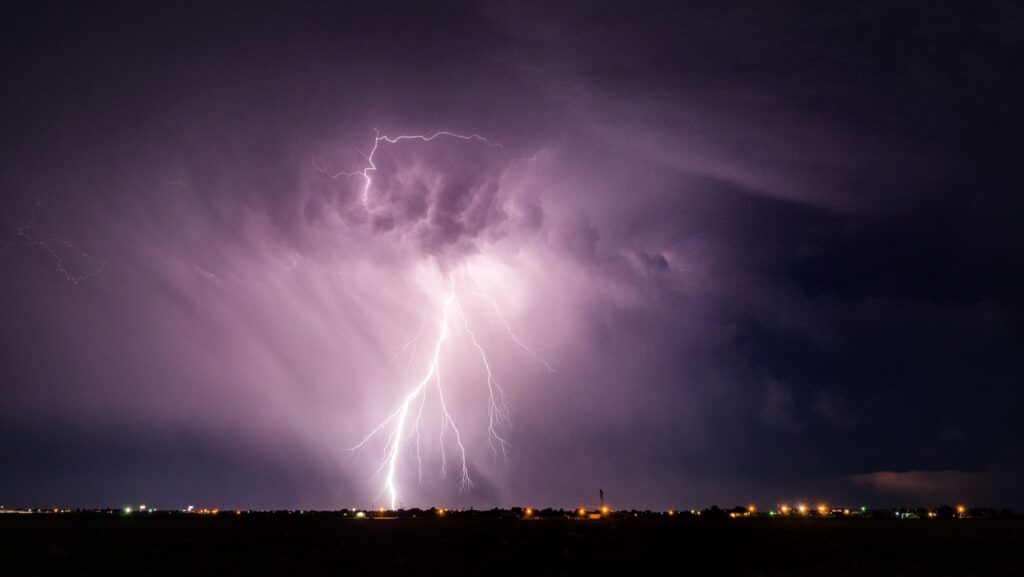
Imagine hearing thunder after seeing lightning. The longer the gap, the farther away the storm. GPS does the same with radio waves, which travel at the speed of light. A receiver compares the time stamp on a signal with its own clock and multiplies the delay by the speed of light. Mathematician Francis Su explains the geometry on Harvey Mudd College’s Math Fun Facts page: one satellite puts you on a sphere around it, two spheres meet in a circle, and a third narrows you to at most two points.
One of those two points is usually somewhere out in space or far from Earth’s surface, so the receiver can throw it away. That leaves your location. Finding a position from distances to known points is called trilateration. For scale, my own arithmetic says a satellite straight overhead is about 20,200 kilometers away, so its signal takes roughly seven hundredths of a second to arrive.
Why four satellites, not three
Three distances would be enough if your phone had a perfect clock. It does not. Phones carry ordinary clocks, while satellites carry atomic clocks. NASA says each satellite is equipped with redundant atomic clocks, and the National Institute of Standards and Technology (NIST) states that without the precise timing from atomic clocks, GPS would not function.
The trouble is the speed of light. A clock error of one millionth of a second shifts a measured distance by about 300 meters, by simple arithmetic. So the receiver treats its own clock error as a fourth unknown, along with latitude, longitude and height, and uses a fourth satellite to solve for all four at once. NASA’s Space Place page says that once a receiver knows its distance from four or more satellites, it can determine your location, and Harvey Mudd’s page says a fourth satellite is what usually pins the location down. In plain words, the fourth signal lets your phone check its own watch against the satellites.
Einstein in your pocket
NIST describes a surprising wrinkle. Satellites move fast, so special relativity says their clocks should fall behind Earth clocks by about 7 microseconds per day. They also sit in weaker gravity, and general relativity says that makes them run faster, by about 45 microseconds per day. The net result is that satellite clocks run about 38 microseconds per day faster than clocks on the ground. NIST says that gap would quickly make positioning and timing useless without constant correction. Multiplying 38 microseconds by the speed of light gives roughly 11 kilometers of error per day, again my own arithmetic. GPS was not built as a physics experiment, but engineers had to account for relativity to make it work.
How accurate is it?
GPS.gov’s accuracy page, as read in November 2026, says smartphones are typically accurate to within a radius of about 4.9 meters (16 feet) under open sky, and that accuracy worsens near buildings, bridges and trees. It credits that figure to an outside source. The page does not carry a date, so treat it as a typical value, not a guarantee.
The government’s own commitments are about the signal, not your device. GPS.gov states a commitment that the signal-in-space range error is 2.0 meters (6.6 feet) or less, 95 percent of the time, as a global average, and it lists a measured result of 0.643 meters (2.1 feet) for one day, 20 April 2021. Receivers that use two frequencies or correction services can reach centimeters.
| Thing that affects your fix | Why it matters |
|---|---|
| Satellite geometry | Satellites spread across the sky give a better fix than a bunched group |
| Blocked signals | Buildings, bridges, trees, and indoor or underground places weaken or cut signals |
| Multipath | Signals that bounce off buildings arrive later and look farther away |
| Atmosphere | The air layers alter signal timing slightly |
| Receiver quality | Better receivers do better |
What your phone adds
A University of Maryland, Baltimore County article explains that every smartphone has a chip that receives satellite signals and calculates the phone’s own position. Phones can also estimate position from the cell towers and Wi-Fi routers around them, which is why a phone can sometimes be located even when location services are turned off.
Motion sensors help too. A 2019 paper in the journal Sensors describes using a phone’s accelerometer and gyroscope for dead reckoning, which means estimating movement from your own steps and turns, when satellite signals are blocked indoors. Those sensors are noisy and drift over time, so the authors combined them with a magnetometer, a floor plan and a barometer for floor changes. In everyday terms: satellites give the anchor, and the other clues fill in the gaps.
Other systems in the sky
GPS is the American system, but it has company. GPS.gov’s page on other systems lists the following.
| System | Run by | Coverage | Satellites listed by GPS.gov |
|---|---|---|---|
| BeiDou | China | Global | 35 operational |
| Galileo | European Union | Global | 24+ |
| GLONASS | Russia | Global | 24+ |
| NavIC | India | Regional (India and about 1,500 km around it) | 7 |
| QZSS | Japan | Regional (East Asia and Oceania) | 7+ |
Counts change and sources differ. The European Space Agency’s Galileo page says more than 30 first-generation satellites are in orbit, at about 23,222 kilometers, under civilian control, with 12 second-generation ones being built. The Russian GLONASS information center describes a nominal 24 satellites in three planes at about 19,100 kilometers. Check each operator for the current figure.
A common misconception: your phone talks to the satellites
Many people picture the phone sending a signal up and the satellite replying. It does not work that way. Harvey Mudd’s Math Fun Facts says GPS receivers only receive. MIT’s School of Engineering explains that an ordinary receiver does its calculation on the device and does not reveal your location to others. Some trackers are set up to report their position, and a carrier or app can learn where your phone is by other means, such as cell towers and Wi-Fi. But that is not the satellites finding you. They never know you are there.
Things you can try or notice
- Open a map app outdoors in a clear spot, then walk beside a tall building. The accuracy circle may widen, and the dot may wander, as the sources describe for blocked signals.
- Compare your position outdoors and deep inside a large building. The indoor fix probably leans more on Wi-Fi and cell information.
- If your map shows the wrong street name or a bad route, remember GPS.gov’s note that mapping software errors are often mistaken for GPS problems.
- Look at the circle around your location dot. A small circle means the phone is confident, a large one means it is less sure.
Frequently asked questions
Does GPS work without a phone signal?
The satellite part does. Your receiver listens to satellites, not to a network, so it can calculate a position without cell service. Maps and other data are a separate matter and may need a connection.
Do satellites track me?
No. GPS.gov describes one-way signals, and a receiver works out its own position. Apps and carriers are a different matter.
Why does GPS need atomic clocks?
Because distance comes from timing, and light travels about 300 meters in a millionth of a second. NIST says GPS would not function without them.
Is GPS free?
GPS.gov says civilian GPS service is free and available worldwide, and the FAQ says it is paid for by the U.S. taxpayer.
Lighthouses with very good watches
The next time a blue dot slides along a map, picture a quiet crowd of satellites calling out the time and their positions, and a small receiver in your hand doing the geometry. The cleverness is in the clocks.
Sources
- GPS, GPS.gov (National Coordination Office for Space-Based Positioning, Navigation, and Timing)
- GPS Accuracy, GPS.gov (National Coordination Office for Space-Based Positioning, Navigation, and Timing)
- FAQ, GPS.gov (National Coordination Office for Space-Based Positioning, Navigation, and Timing)
- Other Global Navigation Satellite Systems (GNSS), GPS.gov (National Coordination Office for Space-Based Positioning, Navigation, and Timing)
- GPS, NASA
- How Does GPS Work?, NASA Space Place
- Putting Einstein to the Test With the World’s Most Accurate Clocks, National Institute of Standards and Technology (NIST)
- Atomic Clocks: A Technology Powerhouse, National Institute of Standards and Technology (NIST)
- How GPS Works, Math Fun Facts, Harvey Mudd College
- Could a GPS device reveal my location to others?, MIT School of Engineering
- Satellite data: The other type of smartphone data you might not know about, University of Maryland, Baltimore County
- Smartphone-Based 3D Indoor Pedestrian Positioning through Multi-Modal Data Fusion, Sensors (Basel), 2019
- Galileo, European Space Agency
- About GLONASS, Applied Consumer Center of GLONASS (Roscosmos)
Last updated: November 2026. This article is general information, not technical advice.